Working with Projects
The Voxel Farm platform uses a data-centric approach to allow organizations scale the spatial understanding of their operations.
A data-centric approach creates a shared repository of spatial objects. The platform calls these spatial objects "Entities". Some Entity examples are:
- Point Clouds
- Terrain Models
- Block Models
- Planning / Design Solids
- BIM
The platform allows these entities to be shared -as long as security settings allow- within different teams across the organization.
A typical organization may produce hundreds of thousands of different entities every year. Some entities will be authored by professionals in the organization, some will be raw dataset captures and some will be the result of processing other spatial entities. The total collection of entities is known as the Organization's Catalog.
In order to manage the sheer number of entities, the platform structures the full Organization's Catalog in a hierarchy of Projects and Folders. It is up to the teams in the organization to come up with which Projects should be used, who will be assigned to each Project, what folder structure should be user in each particular Project, and which Entities will appear in the project.
After a successful login, a User can click on the "My Projects" section of the UI. This will display a list of the projects the user can access:
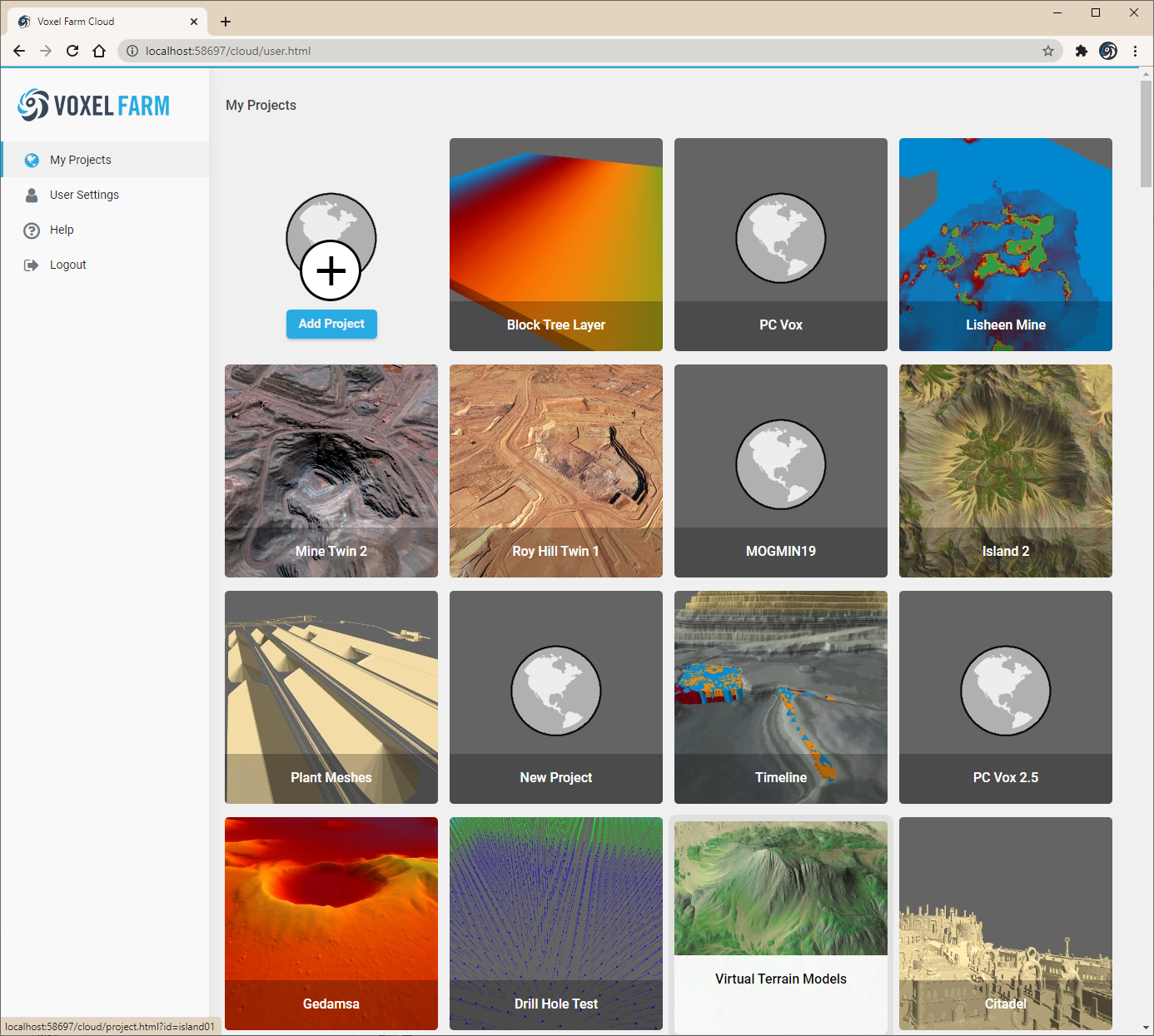
To select a particular Project, the user may click on the card for the Project. This will load the page for the Project in the browser.
The Project contains a catalog of Entities, which the user can access by selecting the "Catalog" section in the project page. This reveals the folder structure of the Project and allows the user to see how the different Entities in the project have been organized by the project's team members:
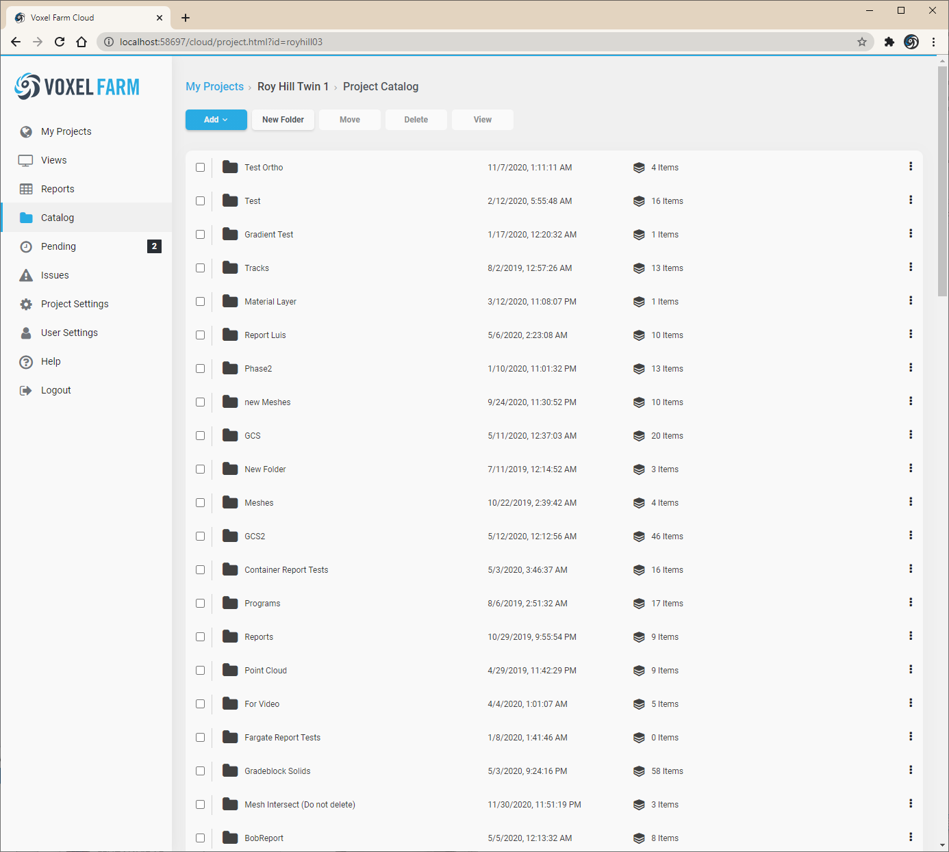
The User may click on the "New Folder" button to create a new Folder in the Catalog.
To see how other Entities may be created, please look into the Adding Spatial Entities to a Project section.